Map Skills: Using Different Maps Together (1960)
Through animation, maps of the same scale and projection are combined to show relationships between natural features of the earth, human use, and social and political features. Projects different kinds of animated maps of the same scale and explains how the maps are used in gaining an understanding of the relationships between the social, political, and natural features of the earth.
Movie Info
Through animation, maps of the same scale and projection are combined to show relationships between natural features of the earth, human use, and social and political features. Projects different kinds of animated maps of the same scale and explains how the maps are used in gaining an understanding of the relationships between the social, political, and natural features of the earth.
Similar Movies
Our Round Earth: What It's Like
1971
Do země ledovců
1950
Píseň jižních Čech
1951
Horehronie
1954
River
2021
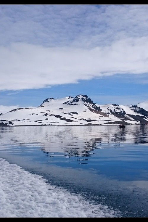
Antártica: O Continente dos Extremos
2021
The Journey of Man: A Genetic Odyssey
2003

Un jour en Italie
2017
Over Washington
1989
Maps Add Meaning to History
1970
Podkarpatská Rus
1937
The River of Life and Death
1941
Water Life
2011
The Lost Forest
2020
Sherpa
2015

being queer here
2024
Geography of South America: The Continent (Revised)
1977
Krušné hory.
1937
Domažlicko
1937
Czech paradise
1954